The
Travelogues of Diane and Dave
|
The
Travelogues of Diane and Dave
|
|||
|
|
Chapter 4: Garver Mt. Lookout Tower |
|
|
|
|
||||||||
|
|
||||||||
|
|
|
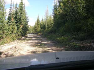
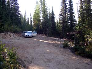
Day 10) Mon, Drive to Garver Mt. Lookout Today we were happy to be leaving Gem Peak fire tower. We were going to our next tower, Garver Mt., up near the town of Yaak. Garver Mt tower looked more promising for privacy. The drive was 105 miles, passing thru the town of Troy where we stopped off at the regional Forest Service office to pick up the keys for the tower. It was the Labor Day holiday so the offices weren't open. They had left the keys in an outdoor container they had built just for such occurances. Troy was a real nice small town with a quaint café where we had lunch. The last 11 miles of the drive was up more dirt back-woods roads. We were definitely going up into the mountains. The further we drove, the rougher the road got. Fortunately, we were able to make it all the way in the little trusty rental car.
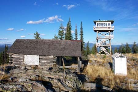
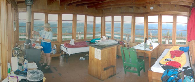
Garver Mt tower was much nicer than Gem Peak. The tower interior was in much better shape! With a locked gate on the access road, a lock on the catwalk hatch, and a steep ¼ mile hike up to the tower, there weren't any casual visitors! The tower was located in the middle of a beautiful little bald spot on top of the mountain. There was even an old cabin located near the tower. The 360 degree view was fantastic! After some careful searching we were able to make out several other fire towers on the other nearby mountains.
This is the interior of the Garver Mt. lookout tower.
This is a 360 deg pano view from the tower catwalk. Click on photo for larger view (243K in size) Day 11) Tues, Dayhike to old lookout ruins
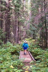
We hiked back down the access road a ways and then picked up the trail
heading north towards Canada. Around noon we stopped for lunch on a clear
knoll with a view of the surrounding mountains. From our lunch spot we
noticed that a small path lead away from the main trail and followed the
ridgeline we were on. We followed the path and soon came upon the remains
of an old firetower. Along with the concrete footings, there were several
old rusty pots and pans laying around. One rusty can was recognizable
as an old Hersheys Cocoa tin. Since it was getting late, we turned around
and headed back to our firetower. It was a hike of about 8.6 miles roundtrip.
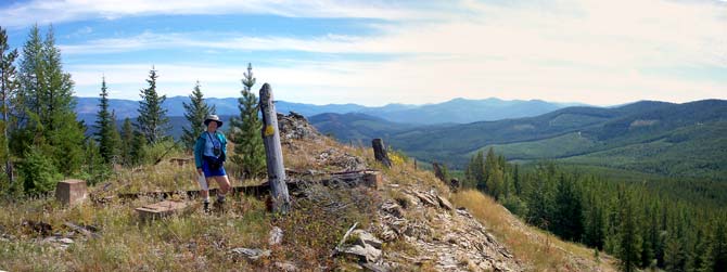
The old ruined lookout tower we discovered. One of the vertical legs is to the right of Diane. The ground was littered with old rusty pots, pans, and cabling.
|
||||||
|
|
||||||||
|
|
|
|
last revised
:
February 9, 2006
|

 The
Garver Mt fire tower was only about 8 miles south of the Canadian border.
We had toyed with the idea of hiking to the border and back. We had even
brought our passports with us just in case. However, that would have meant
a 16 mile hike. Since we got a late start, we decided to hike as far as
we could and then just turn around and return.
The
Garver Mt fire tower was only about 8 miles south of the Canadian border.
We had toyed with the idea of hiking to the border and back. We had even
brought our passports with us just in case. However, that would have meant
a 16 mile hike. Since we got a late start, we decided to hike as far as
we could and then just turn around and return.